
How not to get lost while mushroom foraging and find your way back to the car: A practical guide to forest navigation
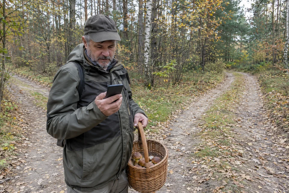
Table of contents
You head into the woods in the morning, leave your car on the edge of a forest track and set off. First, you spot a fine cep nestled right beneath a spruce. Fifteen metres further on, another cap emerges from the moss, and just to the right, behind a cluster of young growth, a whole troop of bay boletes appears. Your eyes are constantly glued to the ground, and you alter course every few moments: a few steps left, a dozen to the right, dodging a fallen trunk, crossing a ditch, skirting a small clearing. After an hour, you lift your head with a heavy basket, look around, and it suddenly dawns on you: every pine tree looks virtually identical, the sun has vanished behind a seamless blanket of cloud, and the hum of the distant road has fallen completely silent. That unmistakable sinking feeling hits your stomach: which way was the car?
Losing your bearings in the woods is nothing to be ashamed of, nor is it the preserve of novices. Every year, emergency services mount numerous search operations for mushroom pickers — including individuals who were convinced they knew the local woods like the back of their hand. Mushroom foraging naturally encourages distraction: your attention narrows to spotting caps amongst the leaf litter, drawing your gaze away from the wider landscape. Below is a tested, practical navigation system — from preparing your return route whilst still standing at the car boot, to reading the forest grid system, through to sensible steps to take should difficulties arise.
Step zero: secure your route back to the car before entering the woods
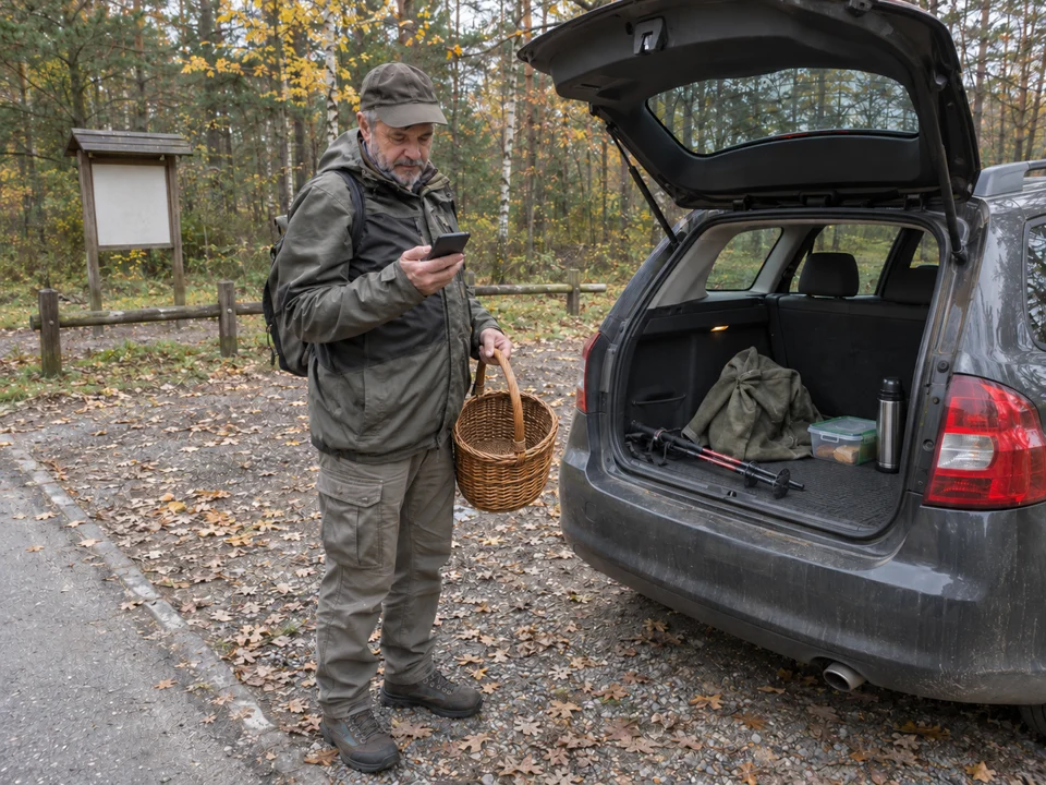
Planning your return route to the car is done whilst you are still standing beside the vehicle, not the moment you realise you have no idea where you are. Before stepping amongst the trees, take two minutes to carry out a few simple preparations:
1. Save your starting point on your phone
Ensure that location services on your phone are switched on. Open your mapping app and log the exact position of your vehicle:
- In Google Maps, tap the blue dot marking your current location and select 'Save parking', or simply press and hold on the map to drop a pin.
- Verify that the receiver has obtained a steady fix (the blue dot should have the narrowest possible uncertainty radius).
- Keep in mind the characteristics of individual apps: downloaded offline Google Maps permit viewing the map base and driving navigation, but do not support pedestrian routing without an internet connection. If you want to see your position in the woods set against footpaths, outdoor apps with offline vector maps (such as Mapy.com or OsmAnd) and the official foresters' app mBDL (Mobilny Bank Danych o Lasach – Mobile Forest Data Bank) prove invaluable, working in the field completely offline once the relevant forest district data has been downloaded.
2. Distinguish GPS from mobile reception and conserve your battery
Many foragers incorrectly assume that a lack of signal bars prevents them from checking their location. A phone's built-in GPS module receives signals directly from satellites and requires no mobile data package, although reliable operation requires suitable device settings and an open view of the sky (under a dense, rain-soaked canopy or in deep ravines, acquiring a fix may take longer). Provided you have downloaded an offline map of the area beforehand, the app will display your coordinates without any internet connection.
- Continuously searching for a faint base station signal rapidly drains a smartphone's battery. It is wise to switch on battery saver mode, and to carry a small power bank on longer outings.
- Never head deep into the forest with your battery down to ten or fifteen per cent — it is your primary lifeline should trouble strike.
3. Identify linear features (handrails)
Before stepping off the track, study the map to see which prominent linear boundaries frame the forest block. These might include a tarmac road, a railway line, an overhead power line, or a distinct river. If you know that the road where your car is parked runs east-west for miles and you enter the forest north of it, heading south will inevitably guide you back towards that transport corridor — provided there are no impassable natural barriers (such as bogs or unfordable streams) along the way.
Why do we walk in circles in the woods?
You have likely heard accounts of people walking for an hour only to end up back where they started. This is no accident, but a thoroughly documented phenomenon.
Research into human navigation without visible reference points (including experiments led by Jan Souman published in the journal Current Biology) has demonstrated that individuals deprived of directional cues almost inevitably veer from a straight line and begin walking in loops. This tendency does not arise from biomechanical asymmetry (such as differing leg lengths), but from the accumulation of minor sensorimotor noise within the nervous system. Lacking sight of the sun or a fixed, distant landmark, the brain progressively distorts its sense of 'straight ahead'.
When foraging for mushrooms, this is compounded by your gaze being fixed firmly on the ground within a few paces. Darting from one prize to the next involves dozens of slight turns, making it remarkably easy to lose your overall heading.
Good practice: every fifteen minutes or so, pause, look up, and turn around 180 degrees. Observe what the woodland looks like from the perspective of your return journey: tree trunks, clearings and brushwood take on entirely different profiles. Committing these reverse views to memory makes retracing your steps far simpler.
Forest compartment posts: woodland spatial organisation in Poland
State-owned forests in Poland (Lasy Państwowe) are partitioned into small management blocks known as forest compartments (oddziały leśne). In the terrain, their borders are marked by cleared strips (compartment boundary lines and rides, or linie oddziałowe and przecinki) and unpaved forestry tracks.
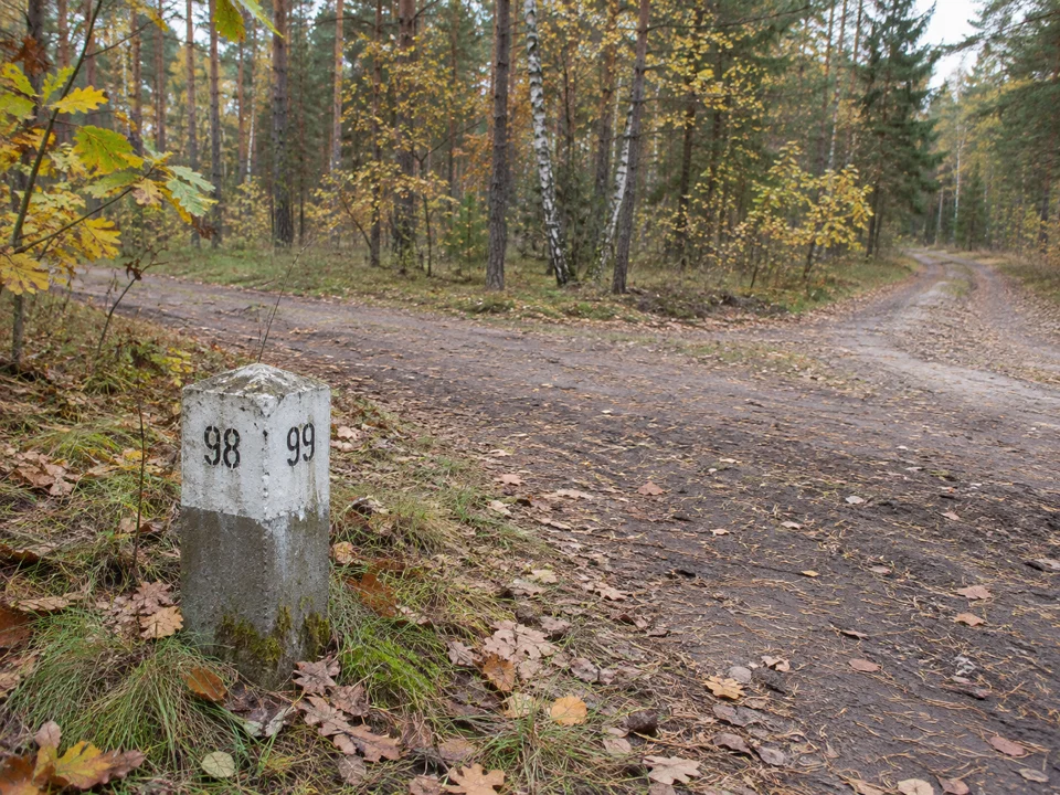
At the intersections of these lines, you will frequently encounter compartment boundary posts (słupki oddziałowe — stone or concrete markers with a bevelled top and black painted numerals). They serve as vital navigation beacons in Polish woodlands:
How to read the numbers on a post
Each face of the marker is turned towards the compartment it designates — the numbered face 'looks' straight into that specific block. This means that when you stand facing the side marked with number 120, compartment 120 extends on your side of the post (in the direction that this numbered face is pointing).
The traditional rule for finding north
In regular, rectangular lowland forest grids where four compartments meet at a crossroads with four distinct numbers, an established forestry guideline applies: the vertical edge of the post situated between the two lowest numbers generally points towards approximate north (as compartment numbering typically advances in bands from the north-east towards the south-west).
Keep in mind the limitations of this method, however:
- The rule applies reliably across standard, rectangular lowland layouts. In mountainous areas, along river meanders, or bordering agricultural land, compartments are frequently irregular, moulded by the topography.
- A marker situated on the perimeter of the forest may only carry two or three numbers.
- For these reasons, treat the marker post as a helpful orientation cue, not an absolute replacement for an operational compass or map.
The post as an address in an emergency
If circumstances deteriorate and you need to summon assistance, a compartment post is invaluable. Under emergency service protocols, when dialling the 112 emergency number, report to the operator all the numbers visible on the post, alongside any details about the broader area: the approximate name of the forest district (nadleśnictwo), the nearest village, the municipality (gmina), or prominent natural features. Compartment numbers recur across different forest districts, so this extra context allows rescuers and foresters to pin down your location on their maps without delay.
Traditional tips and common myths
- The tree moss myth: the notion that moss grows exclusively on the north side of trunks can be dangerously misleading in the woods. Moss thrives wherever it finds moisture and shade. In dense stands it can ring a trunk entirely, whilst on the woodland edge it frequently flourishes on the windward side (in Poland, prevailing winds and rainfall arrive from the west and north-west). Never stake a route choice purely on a patch of moss.
- Movement of the Sun: the sun serves as a great orientation reference, but bear in mind that its position in the sky (its azimuth) changes continuously throughout the day. Navigating for several hours on the assumption that keeping the sun 'on your right shoulder' will maintain your course, without accounting for this azimuth shift, will swing your path along a broad arc towards a completely unintended direction.
- A classic baseplate compass: a small magnetic compass tucked into a jacket pocket weighs virtually nothing and requires no batteries. Simply noting your general heading before you start (for example: entering the forest heading north-west means returning to the road requires a south-easterly heading) allows you to verify cardinal directions instantly if doubts creep in.
What to do if you realise you are lost
Recognising that you have lost your bearings frequently triggers panic and an urge to march briskly forward. That is a mistake — wandering aimlessly in an unknown direction only increases the likelihood of drifting further from safety.
Apply the straightforward STOP protocol:
- S (Stop): halt where you are. Sit down for a moment, take a drink of water, and steady your nerves. A few minutes of quiet composure is far safer than a frantic rush.
- T (Think): when did you last see a wide track, a deer stand, a ditch or a prominent compartment ride? In what general direction did you set off into the woods?
- O (Observe): listen to your surroundings — the drone of a main road, a passing train, or forestry operations can point towards nearby roads or settlements. Scan for cleared rides and vehicle tracks.
- P (Plan):
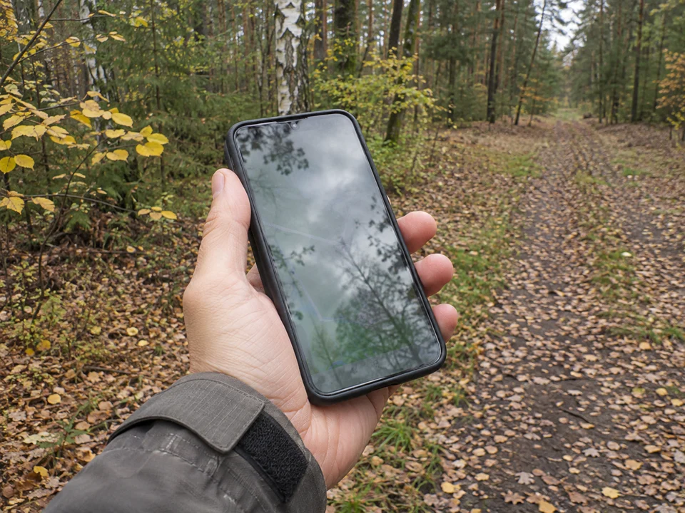
- Check your phone: if you saved your car's position and carry an offline map (in mBDL or an outdoor navigation app), determine your GPS fix. Bear in mind that a pin marks a straight-line heading — do not blunder cross-country through dense scrub or marshland; stick to open, walkable tracks heading in the right direction.
- If you are standing on a clear forestry track or compartment line, follow it only if you can corroborate its route on a map or know it leads towards a known destination. Avoid straying down blind logging tracks and churned-up extraction ruts.
- If you do not know where you are and cannot safely work out a route back: do not hesitate to call for help — dial 112. Police urge foragers not to defer this call until night falls or exhaustion sets in, when search operations become considerably more hazardous. Remember that emergency calls can connect through any available mobile network (requiring only minimal reception from any provider). Report the numbers from a compartment post or coordinates from your phone and — as emergency services advise — stay in one safe spot to assist rescuers in reaching you.
Handy pocket-sized gear
When heading off established footpaths, carry a few essentials in your jacket or foraging bag that add negligible weight yet provide practical security:
- A fully charged phone with your car's location pinned and an offline forest map downloaded (e.g. mBDL).
- A compact power bank with charging cable.
- A simple magnetic compass.
- A small torch (a headtorch is ideal) — beneath a dense canopy, light fades much earlier in the afternoon than in the open, and using your phone's torch swiftly drains its battery.
- A whistle — the blast of a whistle travels much further through trees than a human shout and will not tire your voice, making it far easier to signal companions or search teams.
- A reflective strip or high-visibility accent (such as a fluorescent beanie or a high-vis vest in your pocket) — makes spotting a person amongst the trees far easier than traditional dark or camouflage clothing.
Sources
- State Forests (Lasy Państwowe) – Forester's Blog: Rectangles, posts, stones and compartments
- State Forests (Lasy Państwowe) – Forestry Glossary: Compartment boundary post
- State Forests (Lasy Państwowe) – Krok po kroku w leśnych ostępach (author: Jarosław Szałata)
- Forest Data Bank (Bank Danych o Lasach) – mBDL mobile app
- Policja.pl – Zabłądził w lesie podczas grzybobrania. 82-latek został w porę odnaleziony przez policjantów
- Policja.pl – Bezpieczne grzybobranie
- Gov.pl Portal – 112 Emergency Number: Tips and information
- Souman J.L., Frissen I., Sreenivasa M.N., Ernst M.O. – Walking straight into circles (Current Biology 19(18), 2009, s. 1538–1542, DOI: 10.1016/j.cub.2009.07.053)
- Google Maps – Save your parking location
- Google Maps – Download areas and navigate offline
- Android Help – Manage your device's location settings